Tel: +256-784-089-331|Tel: +256-786-033-252| E-mail: [email protected]

Overview
Primary tabs
Located in the South Western region of the Republic of Uganda Rubanda district borders with Kisoro to the West, Rukungiri and Kanungu to the North, Kabale to the East and the Republic of Rwanda to the South.
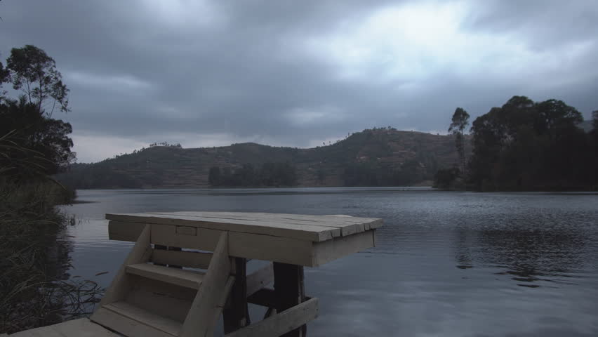
It is one of the highland Districts of Uganda and its topography is mainly green, interlocking and heavily cultivated hills with spectacular valleys.
The District covers a land area of 660.2 sq km. The altitude of the District ranges between 1,219 metres (3,999 ft) and 2,347 metres (7,700 ft) above sea level. This altitude makes it colder than the rest of the country.
The people are predominantly Bakiga, but also the Batwa (Pygmies), the Banyarwanda and the Bahororo tribes exist in the district.